Majestic sunrise, active volcano, and breathtaking vistas make Mount Batur a must-visit marvel in Bali’s highlands.
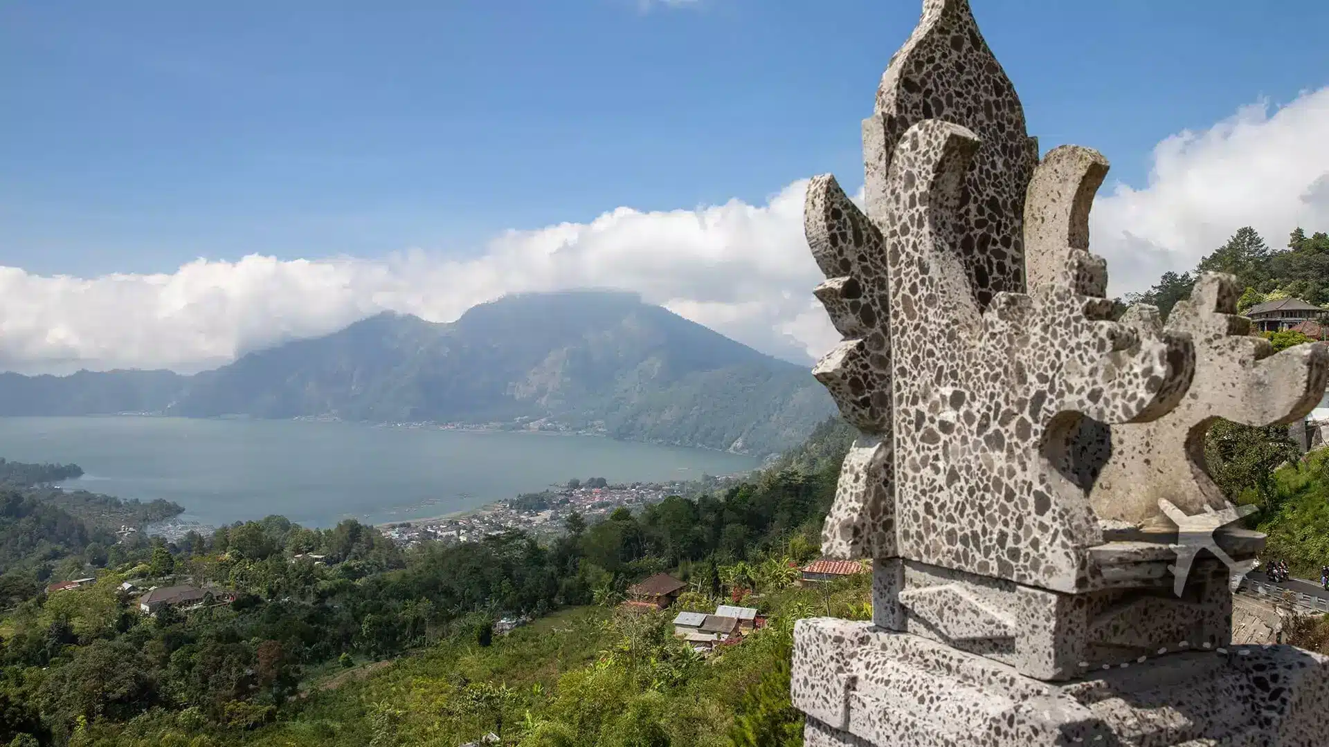
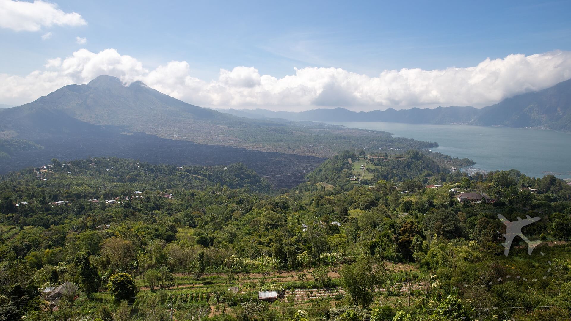
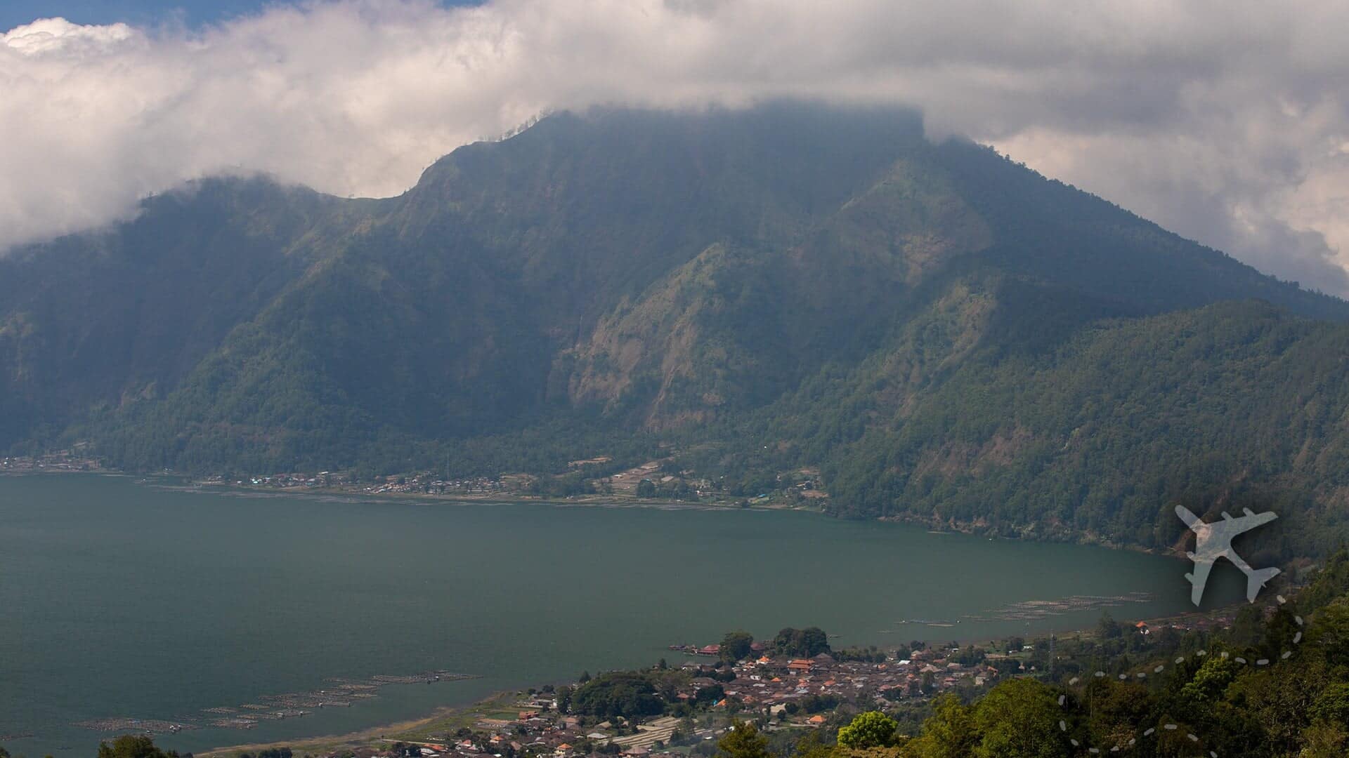
Mount Batur is another active stratovolcano in Bali, Indonesia. Twenty-four thousand years ago, the volcano collapsed and created the two concentric calderas and formed a massive depression that is now known as Lake Batur. The 15 kilometer elongated Lake Batur sits 1,031 meters above sea level and has an impressive deepest point of 88 meters.
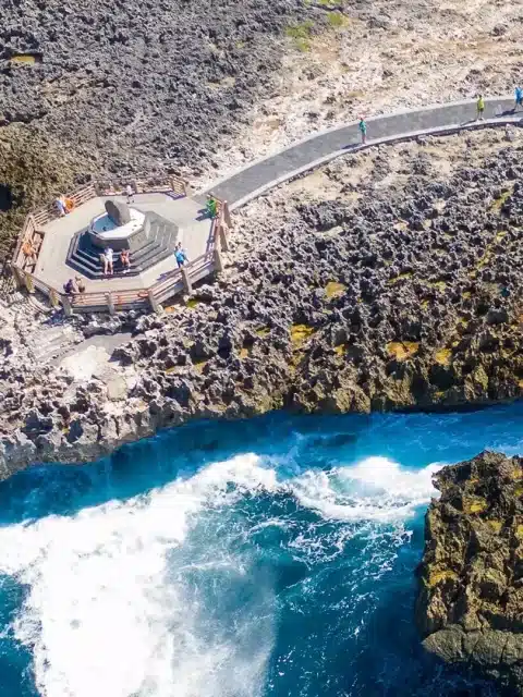
Towns and villages dot the volcanic landscape around the calderas and lake that have become increasingly busy with volcano tourism and people exploring the breathtaking scenery on this island paradise.
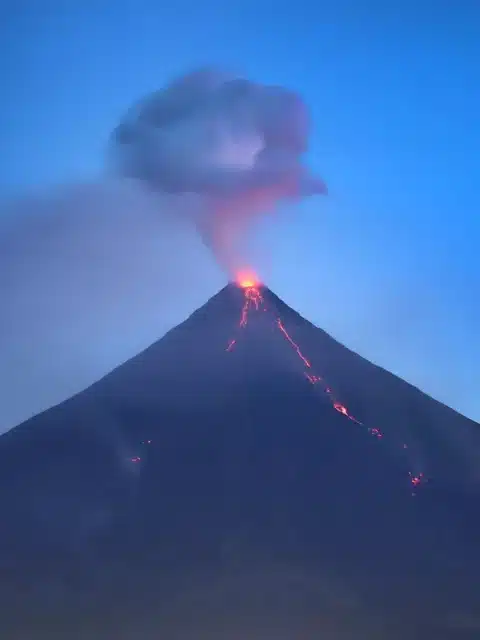
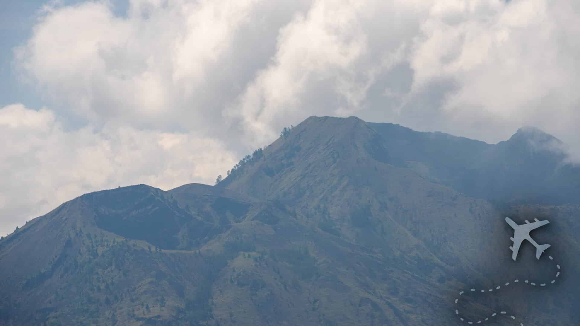
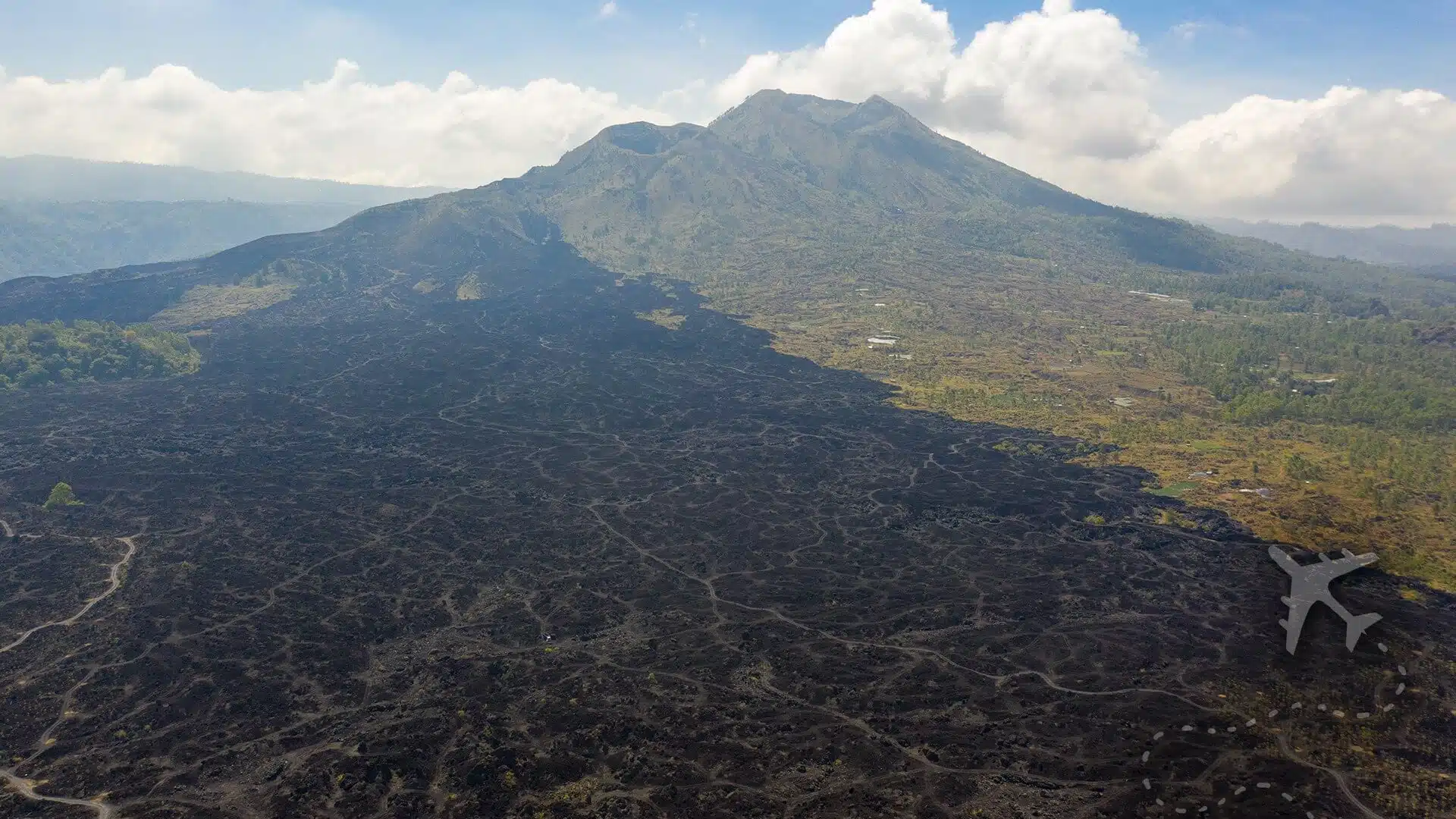
The summit of Batur rises 700 meters above the Lake Batur and has been relatively calm; the last major event was in 1968, which covered a significant portion of the southern side of the upper caldera with ash and lava, stopping just short of population centers. The history of this volcano typically produces moderate explosive eruptions every few years that are sometimes accompanied by basaltic lava flows; the last eruption was in 1999-2000.
Through the viewfinder


Mount Batur Uncensored
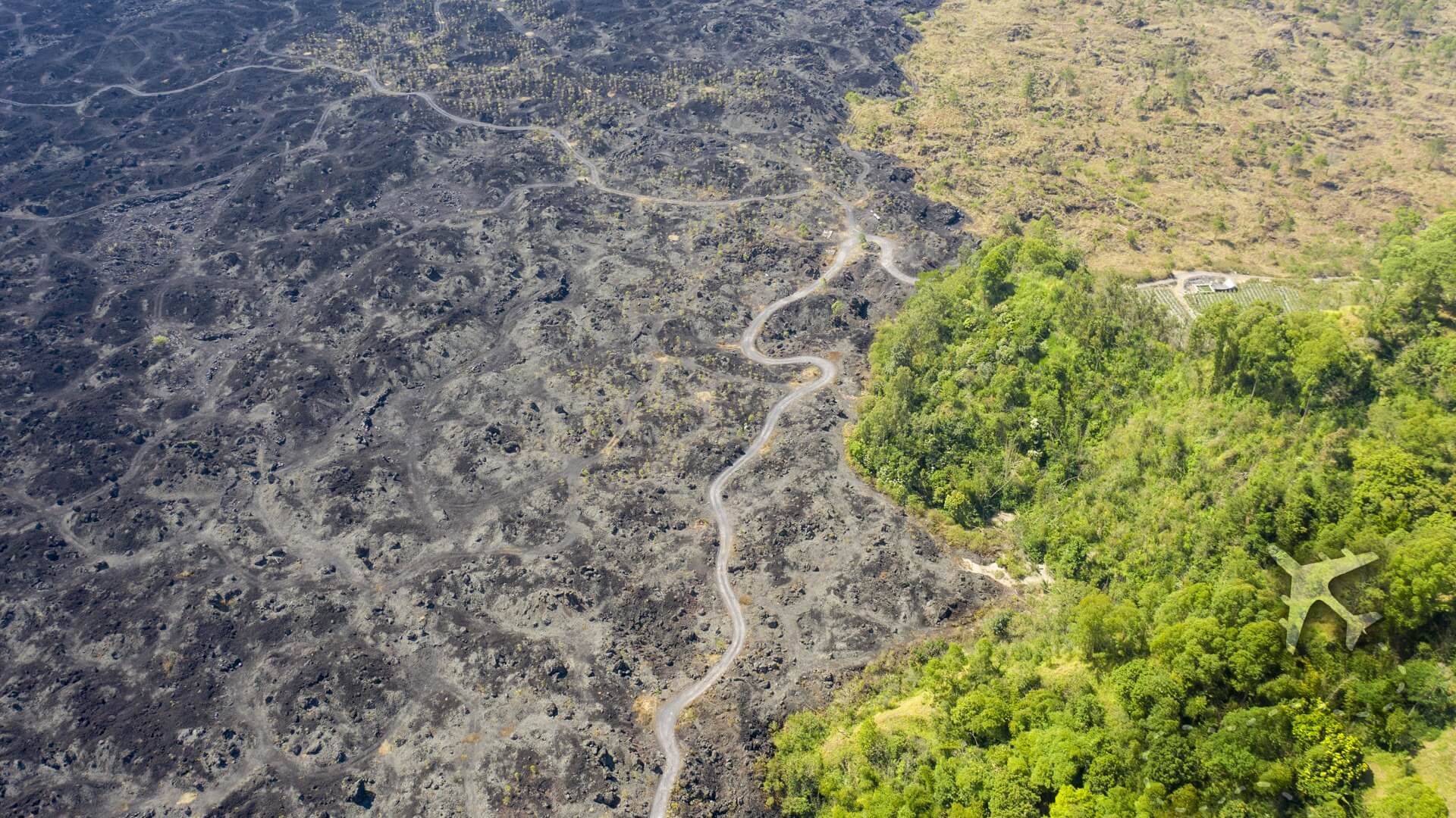
If you’re up for exploring Batur and the surrounding area, it’s a solid 2-hour drive from Denpasar deep into the northern mountains. Batur is known for their sunrise trekking, hiking the lava fields and amazing local Indonesian culture.
I’m not a fan of waking up early while on vacation, so sunrise trekking didn’t happen this trip.
The farming villages in the caldera aren’t generally tourist destinations; however, many people were exploring during a random weekday. Local villagers were peddling their wares and selling anything and everything they could to the hundreds of visitors.
As I’ve written about in other posts about Indonesia, the locals are the nicest, welcoming people who live a modest life full of culture that you should explore.
Frequently Asked Questions
The first recorded eruption was in 1804, and it has also erupted in 1821, 1847, 1849, 1854, 1888, 1897, 1904, 1921, 1922, 1924, 1925, 1926, 1963-64, 1965, 1966, 1968, 1970, 1971, 1972, 1973, 1974, 1976, 1994, 1998, 1999-2000
Everything you need to know before you visit Mount Batur
CURRENT WEATHER
overcast clouds (17 C / 63 F)AIR QUALITY
Unhealthy (154)GPS COORDINATIONS
-8.2393, 115.3780
HIGH SEASON (MOST EXPENSIVE)
June – September
LOW SEASON (LEAST EXPENSIVE)
October – May
You might also like