Mount Merapi, Indonesia’s Fire Mountain
Experience the awe-inspiring power and natural beauty of Mount Merapi in Indonesia, as you embark on a thrilling adventure to witness its majestic volcanic landscapes and immerse yourself in the rich cultural heritage of the surrounding region.
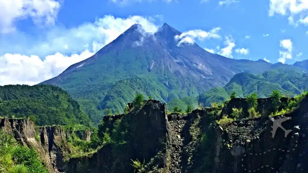
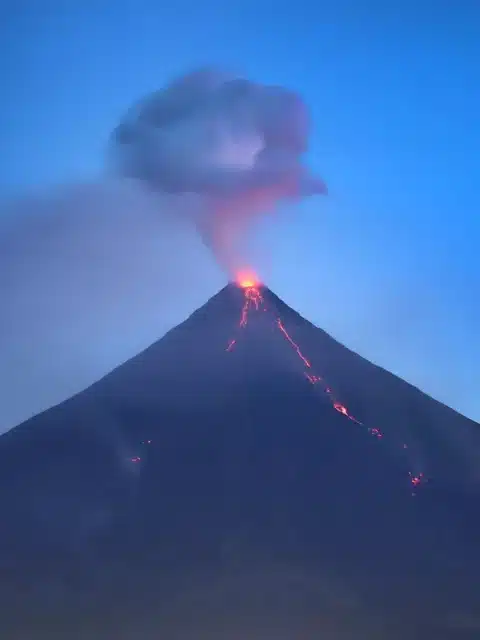
Merapi, also known as Mount Merapi, is one of 35 active volcanoes in Indonesia. Located in Yogyakarta, Merapi’s rich and captivating history has become an iconic landmark in the region and a draw for volcano tourism enthusiasts. The history of Merapi dates back centuries, with evidence of volcanic activity and eruptions throughout the ages. This fame has landed Merapi as one of 16 Decades volcanoes, a group of volcanoes being studied due to their significant destructive eruptions and proximity to populated areas.
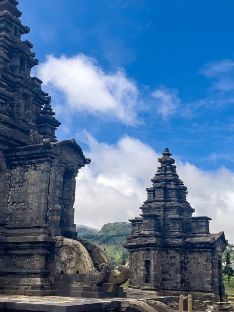
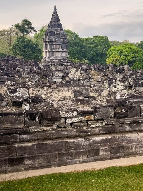
One of the earliest recorded eruptions of Merapi dates back to the 10th century. This eruption, known as the Prambanan eruption, is believed to have significantly impacted the nearby ancient Hindu temple complex of Prambanan. The eruption caused severe damage to the temples, burying them under a thick layer of volcanic ash. However, the temples were rediscovered and restored over time, becoming a UNESCO World Heritage site.
Mount Merapi has continued to be an active volcano throughout the centuries, with numerous eruptions recorded. April 2006 ended a relatively calm period on the mountain, giving way to earthquakes, eruptions, and deadly pyroclastic flows. By early May of that year, lava was continually flowing from vents near the summit, causing the mandatory evacuation of 17,000 locals from the towns perched high on the mountainside. Eruptions subsided by mid-May, claiming the lives of many locals, many of which began the task of rebuilding against the advice of local government officials.
May 27th, 2006, ended Mount Merapi’s eruptive cycle with a 6.2 magnitude earthquake centered to the southwest of Yogyakarta. The quake killed 5,700 people and injured 37,000 people. The death toll was highest in Bantul, with 72% of the deaths occurring in this area. In addition, the 2006 eruptions and earthquakes destroyed or damaged 350,000+ structures in the surrounding areas.

Late October 2010 forced locals to (again) deal with the unrest at Mount Merapi. The Indonesian government raised the alert level, warning villagers that an eruption was imminent. October 25th, 2010, began a series of eruptions that lasted into mid-November. Lava flows, scolding pyroclastic clouds, and lahars were the prominent events in this eruptive series. News reports stated that 194 people died from the eruptions, Three-quarters from searing heat blasts during the most significant eruptions. In addition, volcanic ash was blamed for deaths from respiratory distress; the ash blanketed everything and everyone in the surrounding areas with thick layers of acidic, abrasive rock and glass.
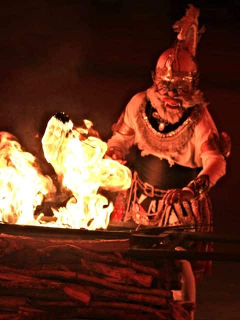
The volcano holds great significance in Javanese mythology and is considered a sacred site. Therefore, the people of Yogyakarta regularly conduct ceremonies and rituals to appease the volcano’s spirits and seek protection from its potential dangers.
Despite the risks, the people of Yogyakarta maintain a strong connection to Mount Merapi, honoring its power and integrating it into their cultural practices. Merapi’s history serves as a reminder of the forces of nature and the resilience of the human spirit in the face of adversity.
Through the viewfinder
Mount Merapi Uncensored
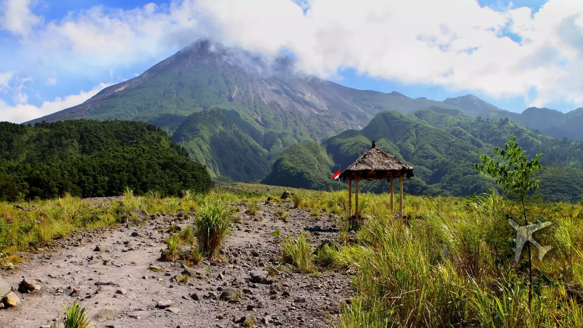
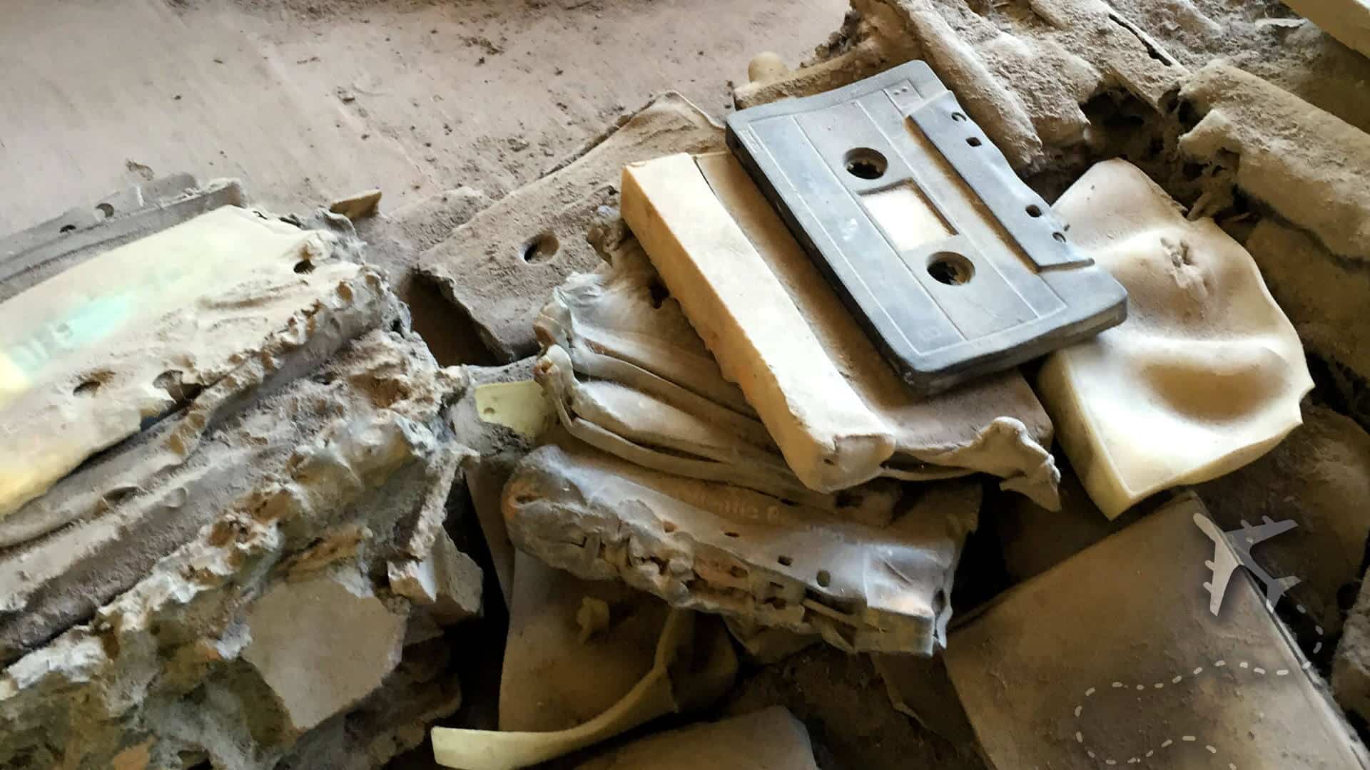
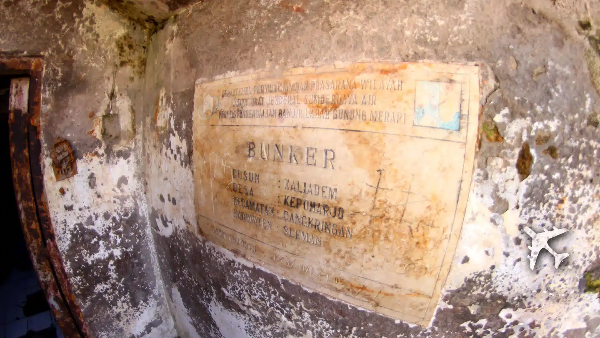
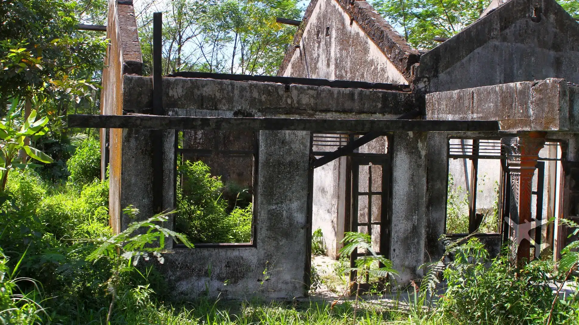
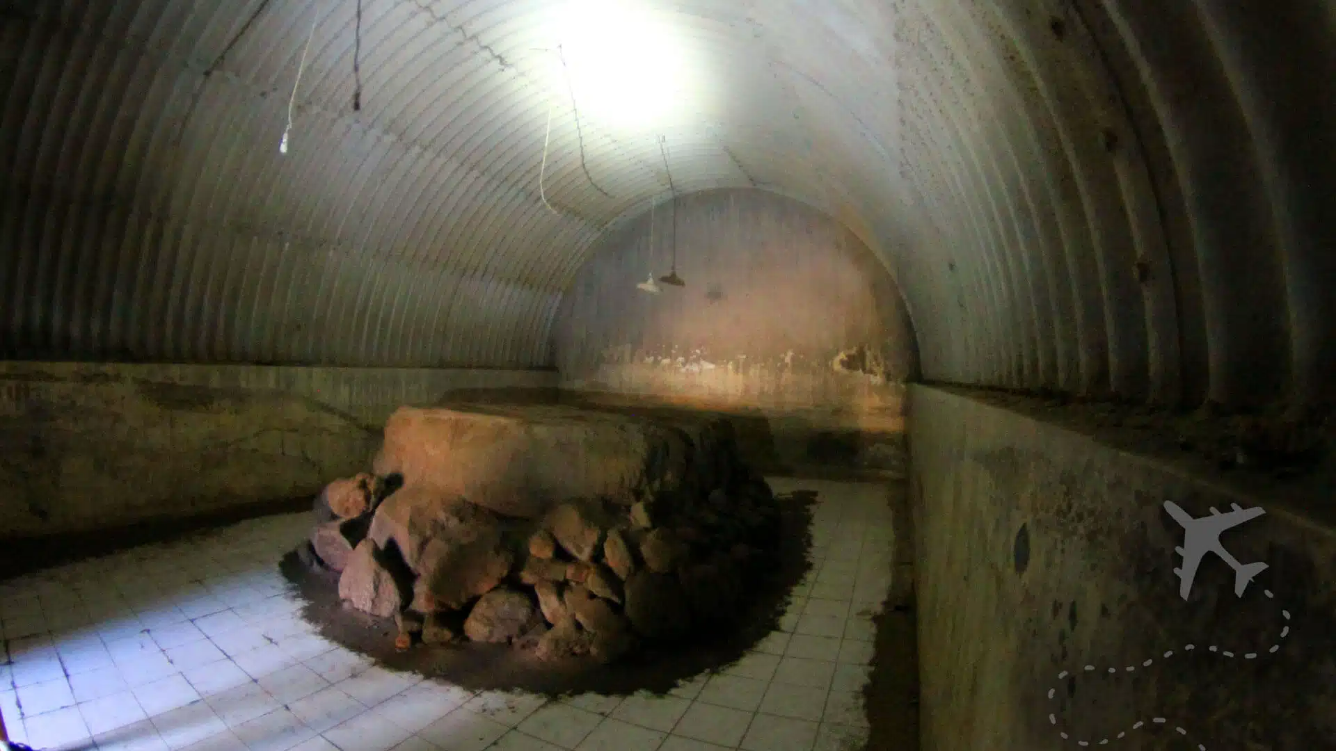
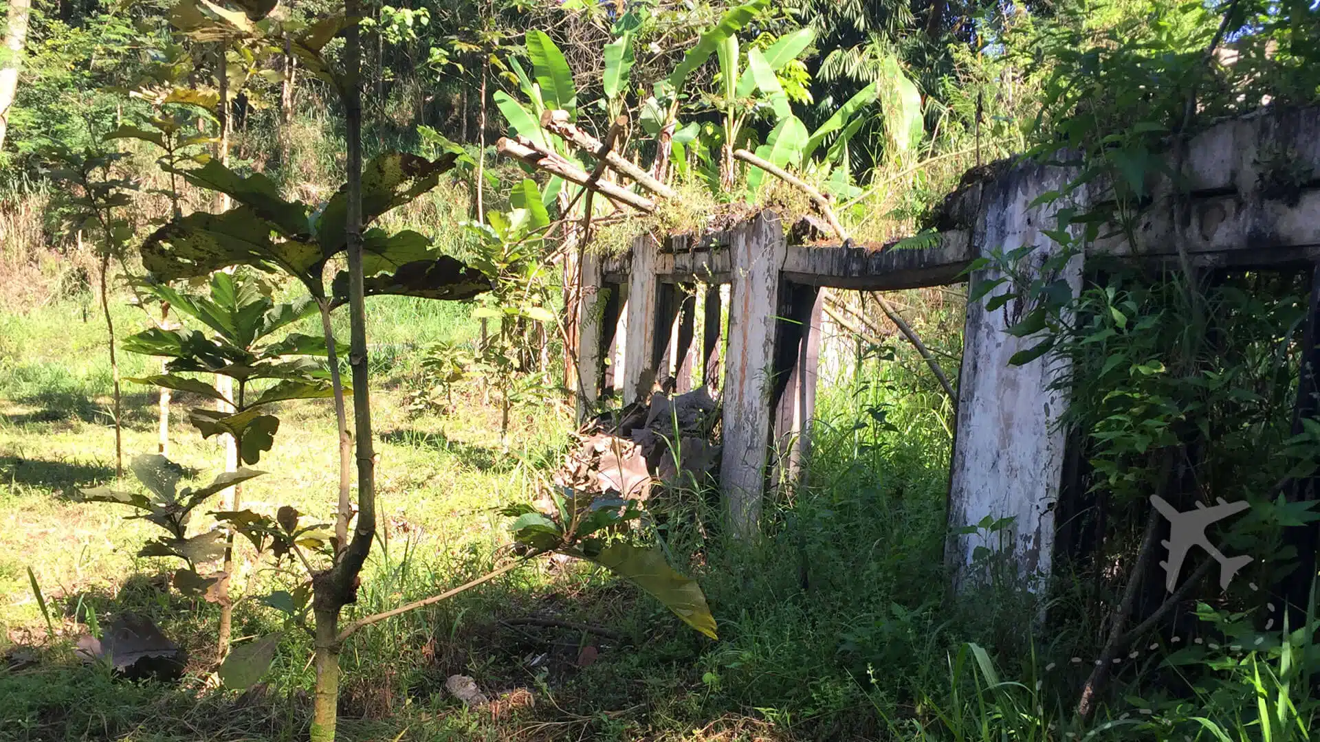
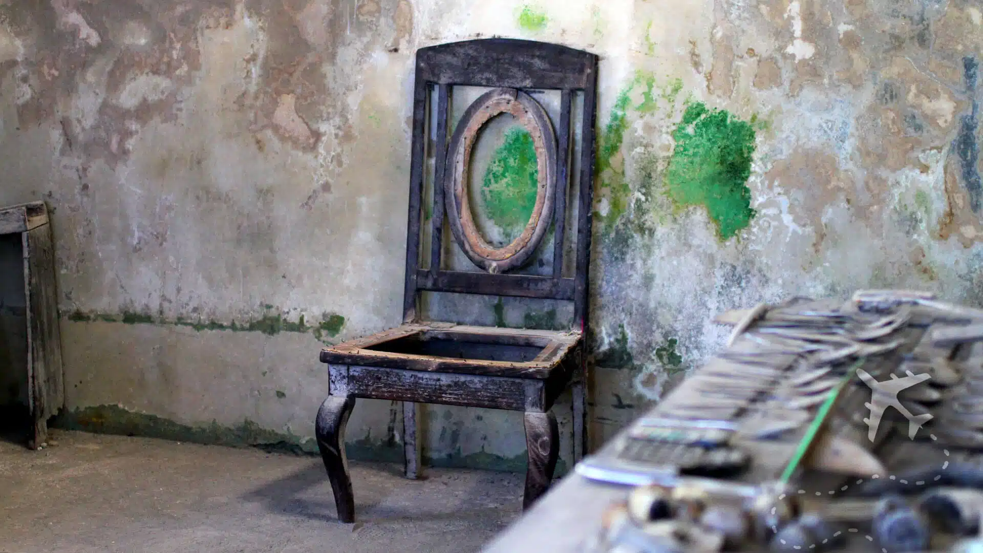
A permanent 10 kilometer (6.2 mile) exclusive zone was established to protect the safety of people living in the shadow of Mount Merapi. Tour operators have tours throughout the exclusion zone, where you’ll find abandoned houses, buildings, and remnants of what life used to be.
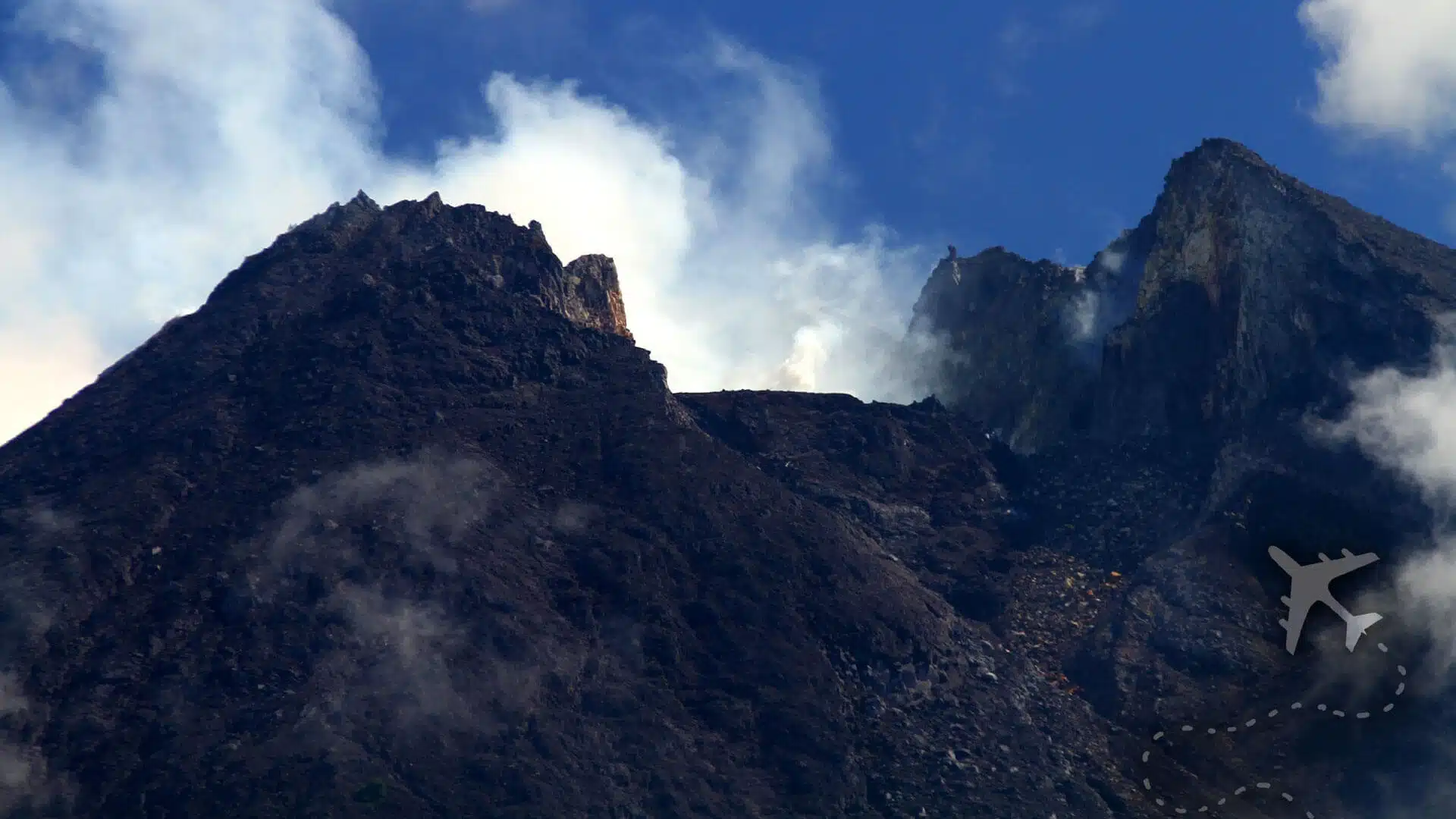
For the die-hard thrill seekers, you can hike to the summit but will need supplies, a guide, and some brass cojones. Merapi is not known to be hiking-friendly; the terrain is very steep and filled with jagged rocks, pumice, and gas vents. Let’s also remember that Mount Merapi has a bad attitude and explodes regularly.
Locals are no longer allowed to live, work, or play in the exclusion zone; numerous posted signs read “no community activities.”
Frequently Asked Questions
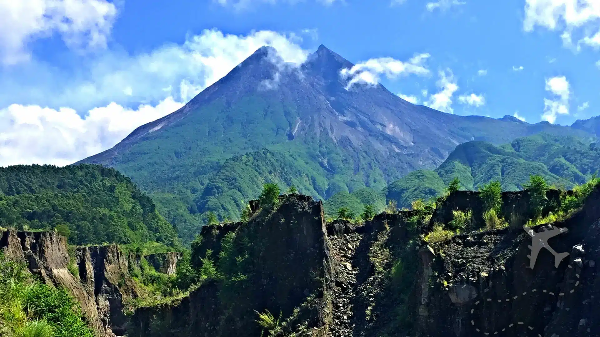
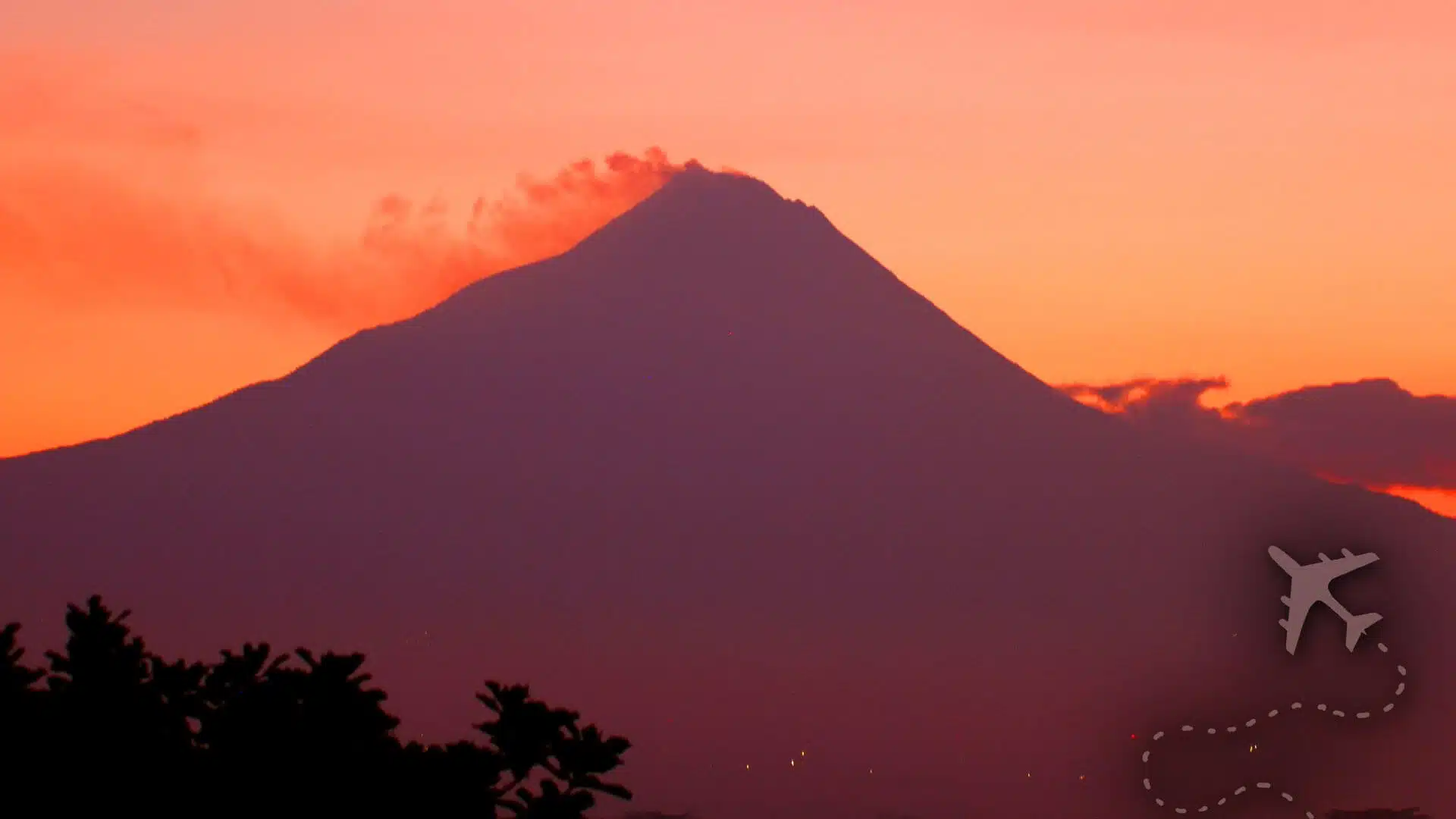
Merapi stands 2,911 meters (9,551 feet) above sea level and is a prominent landmark in Yogyakarta.
Merapi has erupted 68 times since record keeping began, with smaller eruptions every 2-3 years and larger eruptions ever 10-15 years.
Mount Merapi is located in Central Java, north of the Special Administrative Region of Yogyakarta. Merapi is a landmark and can be seen from most locations in Yogyakarta.
Everything you need to know before you visit Mount Merapi
CURRENT WEATHER
few clouds (22 C / 72 F)AIR QUALITY
Unhealthy for Sensitive Groups (127)

